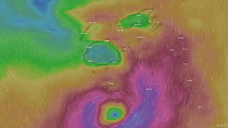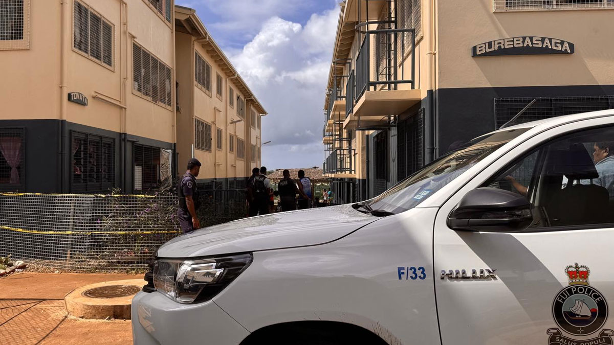
The low pressure system located to the North West of Fiji and associated weather from Cyclone Ana is still expected to bring damaging winds, rain and flooding this afternoon into tonight.
The Nadi Weather Office says Cyclone Bina was downgraded to a tropical depression TD07F and further weakened into a low pressure system.
The associated convergence zone is expected to bring damaging winds and heavy rain over Vanua Levu, Taveuni and nearby smaller islands, Lomaiviti and Lau Group.
A flood warning remains in force for all low lying areas, areas adjacent to and downstream of all rivers of Vanua Levu, and Ba, Tavua, Rakiraki, Korovou, Waidina, Wainibuka, Wainimala, Waimanu, Rewa and Navua rivers in Viti Levu.
A flash flood warning remains in force for all low lying areas and areas adjacent to small streams and creeks for Vanua Levu and low lying areas along Naboutini in Serua to Rewa, Rakiraki to Ba in Viti Levu.
The next high tide is at 9pm tonight.
Damaging winds can cause damage to weak structures and houses of very light materials over these areas. It can also cause damage to crops and vegetation.
Strong winds and heavy rain is expected to continue affecting the rest of the Fiji Group.
Flooding of roads, villages, towns and communities near streams, rivers and low lying areas remains a threat for the whole of Fiji.
There will be moderate to heavy swells and breaking waves reaching the coastal areas that can cause coastal inundation and sea flooding especially during high tide.
Meanwhile Cyclone Ana has weakened and downgraded to a category 2 system. It is located about 240km South South West of Matuku and continues to move away from Fiji.
Stay tuned for the latest news on our radio stations

